Sub-surface Technologies & Support Services
The Sub-surface Technologies and Support Services (SSTS) works under Pakistan Petroleum Limited’s (PPL) Exploration Directorate. The teams working under SSTS are highlighted below with brief description of their functions:
ROCK PHYSICS TEAM
Rock Physics (RP) team works towards development of industry recognized workflows and carry out quantitative seismic reservoir characterization studies for both conventional and unconventional (clastic & carbonate) reservoirs. The quantitative assessment is established through rock physics which integrates different disciplines (geology, petrophysics, seismic, reservoir engineering and, geomechanics), techniques, strategies and algorithms to complete process of exploration portfolio and optimizes drilling of a well location at most appropriate site. Through quantitative seismic reservoir characterization workflows, RP team reliably characterize fractured carbonate reservoirs and predict reservoir quality and lithology/fluid saturations from the clastic ones to identify potential sweet spots for well location. RP also contributed in the research through paper publications in the local and international journals.
WELLSITE GEOLOGY OPERATIONS AND FIELD DEVELOPMENT
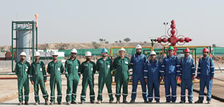
During well planning and drilling phase, the Wellsite Geology Operations and Field Development (WGFD) team is actively involved in providing geological, operational and petrophysical input for wells. The team carry out operations / wellsite geology and supervise mud logging, coring, wireline logging, biostratigraphy, and well monitoring services. The WGFD Team play a key role in decision making for trouble free drilling, Coring & Casing points selection, Wireline data acquisition & formation evaluation, real-time well monitoring (Operated Blocks and JV), Data QC & reporting, well testing, well cost optimization, contracts management and production operations. Also, delivers input for Drilling Optimization, Geomechanics, Geochemistry, Petrophysics, Biostratigraphy, Sedimentology, well data analysis, formation evaluation cost optimization and reservoir simulation studies.
SEISMIC DATA PROCESSING CENTER
Seismic Data Processing Center (SDPC) is staffed with experienced geoscience professionals that have and technology across the full spectrum of data processing to provide un-parallel imaging solutions (2D and 3D) in time and depth domains. SDPC team utilize state of the art technologies to generate customize and industry-recognized workflows to support asset teams meet their geophysical exploration objectives from regional exploration and development to a more focused quantitative imaging challenge.
SDPC have produced the improved seismic data quality, on-time and state of the art processing results both in Time and Depth domains which enabled the company to take timely decisions and reduce risks. SDPC has carried out around 10,000 line Km 2D & up to 5200 Sq Km Seismic data(Time and Depth domain) processing so far.
RESERVOIR ENGINEERING TEAM
Reservoir Engineering team (RE) recommend optimum formation testing techniques and conduct in-house pressure transient analysis. The team analyze the data and apply knowledge of reservoir characterization and fluid mechanics to estimate prospective resources and prepare production profiles of any given exploratory prospects. The team also support Corporate Planning department to prepare Exploration Five-year plan, which includes production, CAPEX and OPEX forecasts for all leads and prospects. RE undertake the supervision for well-testing operations, acquisition and analysis of critical reservoir data and PVT studies. Reservoir engineering team play major role in optimizing testing strategy by applying advanced technologies, efficient planning/ coordination and lesson learned from past experiences, which have contributed in significant testing cost reduction. Moreover, team support Exploration New Ventures team in technical due diligence and Farm-in and out processes.”
SUBSURFACE TECHNOLOGY & WELL DATA INTERPRETATION
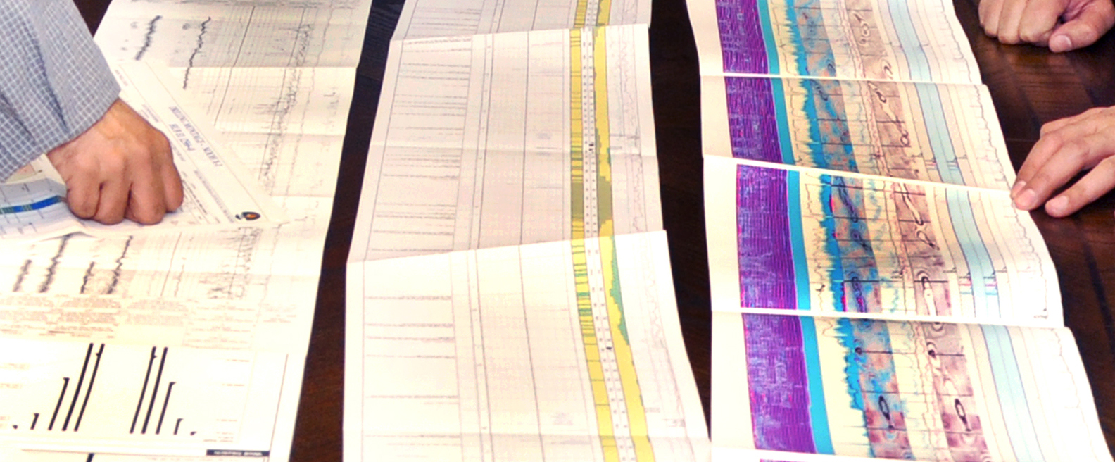
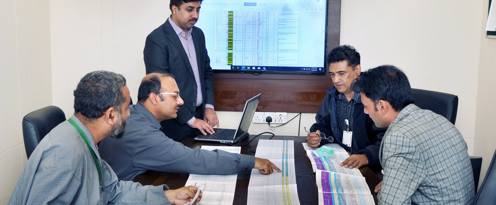
Subsurface well data interpretation team is involved in various aspects of Open Hole/Cased Hole data gathering, integrating and interpreting datasets for timely support to exploration and asset teams for its new well operations. Our team is continuously making efforts to provide technical support in following areas of operation:
Petrophysical Evaluation and Geomechanics:
A dedicated team is actively involved in proposing optimized logging programs in consultation with relevant teams, monitors contractor’s performance at wellsite to ensure better data quality and acquisition of critical dataset required for the identification and quantification of hydrocarbons in subject well. Detailed petrophysical analysis provides asset teams timely support for taking decision to further progressing the well operations to unlock its hydrocarbon potential. Our team of Geoscientists also actively provide support to PPL’s future leads and prospective opportunities.
Geomechanics:
Building 1D Mechanical Model of the Geological Formations helps drilling team to optimize the mud weight for smooth and cost-effective means to drill the well. 1D MEM is a great tool to avoid potential drilling problems that can lead to timely completion of drilling wells. Our team is actively involved in performing in-house 1D MEM and further improving skills to integrate 3D MEM field scale models wherever available for PPL.
Core House and Analytical Lab-West Wharf
PPL Core House manages the second largest core repository of Pakistan, where core samples and drill cuttings of recent as well as historical wells are stored. The core-house covers an area of ~11,000 square feet that hosts more than 3700m of Core from ~112 Wells, more than 36000m of drill cutting samples from ~162 Wells and thousands of core plugs samples on which multiple types of laboratory analyses were performed for better reservoir understanding and core-log integration.
With recent upgrades of Core Laboratory equipment during year 2018 of routine core analysis and limited SCAL testing, PPL is putting continuous efforts to improve its capability and performance to make a unique Core analysis laboratory and core storage house of Pakistan.
Database Management
Recently, a team of PPL’s geoscientist has taken initiative of managing well data with smart software tools and has developed in-house tracking system to manage all key data items efficiently. Tracing archive data is sometimes painful however, our management of data organization has helped us quickly track all relevant information of contractors’ performance information, cost effectiveness of operations and list of issues encountered during the well operations.
A hallmark initiative to environmentally correct, depth matched and spliced well logs data was taken in year 2018. Since then PPL has more than 200 wells data in its archive system that is continuously increasing. Further, initiative of managing huge wealth of information performed on drill cutting analysis, core plugs for various laboratory test results are also being managed under the same platform.
GEOPHYSICAL OPERATIONS (SEISMIC AND NONSEISMIC SURVEYS)
One of the integral components for an E&P business are the geophysical operations. The Geophysical Operations team provides support for all kinds of geophysical data acquisition and quality control in the company’s operated licenses. This includes 2D/3D seismic data acquisition as well as potential field methods such as gravity and magnetic data acquisition. The primary objective of the geophysical operations team is to acquire high quality geophysical data by using the latest technology to reduce cost and time while increasing safety and minimizing the environmental impact.
Seismic Data Acquisition Services
Using state of the art technology, our Geophysical Operations team has a vast experience of carrying out 2D/3D seismic data acquisition over a wide range of geologic/ topographic conditions with a variety of energy sources such as dynamite, vibroseis and air/water guns. The team has completed several projects in the most challenging settings including desert, mountains, cultivated plains as well as transition zones.
Gravity and Magnetics fields survey
STSS, apart from 2D/3D seismic data acquisition the STSS Geophysical seismic operations team also provide support for potential field methods, such as high-resolution gravity and magnetic data acquisition, which is a widely used geophysical technique in frontier areas.
EXPLORATION IT SERVICES
PPL Exploration is committed to remain technology leader in exploration and meeting this goal by utilizing world-class hardware and software. Currently Exploration directorate is using industry’s most prominent software applications in all its disciplines in petroleum system modelling, seismic processing, seismic interpretation, petrophysics, petroleum economics, reservoir engineering and GIS.
In addition, we are aiming to use drones and digital cameras for Geological Field Work for creating and visualizing digital outcrop.


